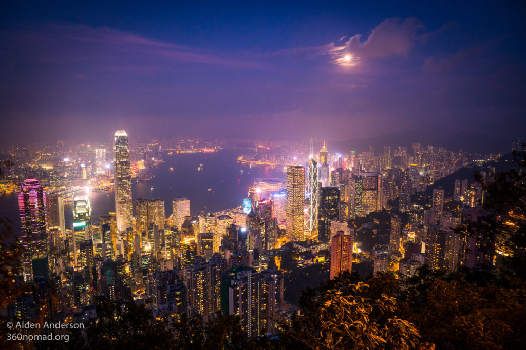
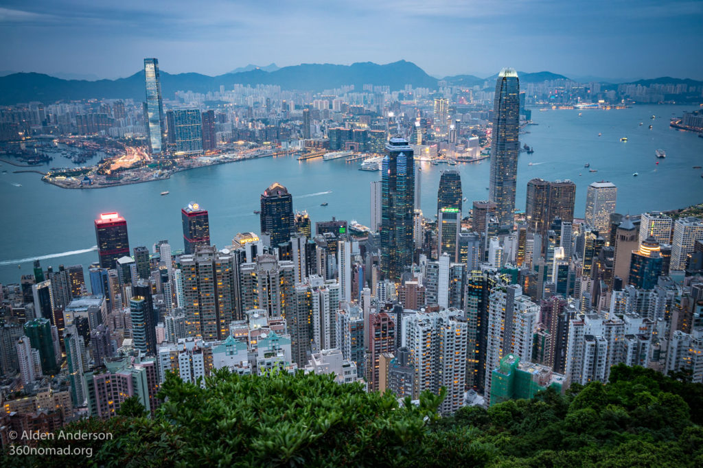
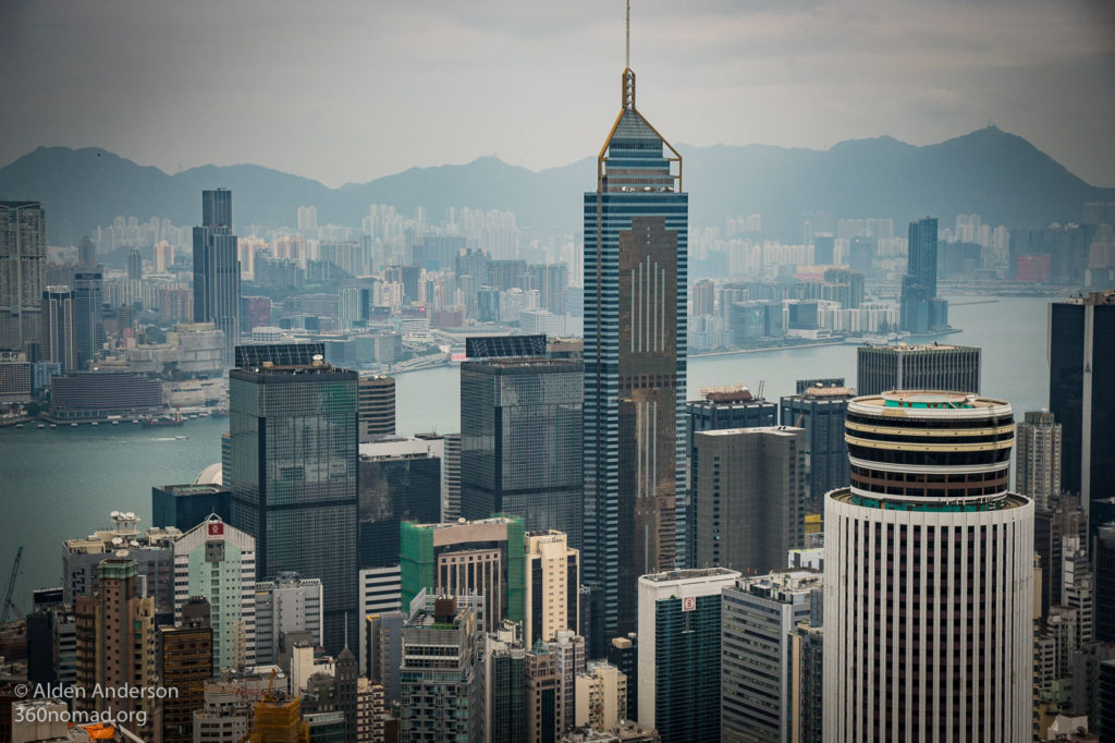
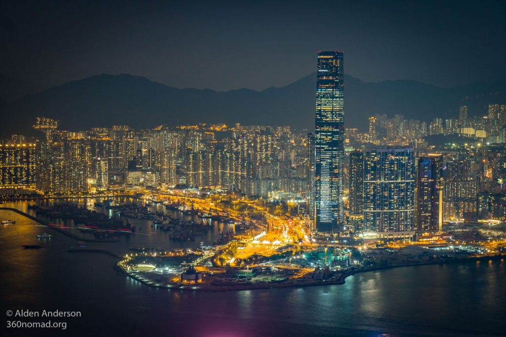
When you picture Hong Kong this view is perhaps the most common. It’s certainly the most accessible view from any of the mountains surrounding the city, as you can take a tram or bus to the top and walk along the path surrounding “The Peak” (What the locals call “Victoria Peak” on Hong Kong Island) for some pretty spectacular views of the city, although hiking to Victoria Peak is my favorite way to get there.
You can take a bus or tram up here but if you have an hour or two to spare I’d recommend walking. You pass through some interesting neighborhoods, get progressively better views of the city as you ascend and get to see the tram going up and down as well as read some of its history along the way. Additionally at times you will feel like you’re walking through the jungle, a sharp contrast to the city views.
It’s not very frequently traveled, so on the weekend when you have a 1 hour wait for the tram in an endless line of people, well, take a walk and enjoy!
The Walk:
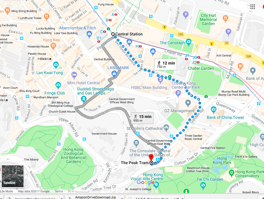
The path to Victoria Peak starts just past where the Peak Tram departs from. So if you are thinking about taking the tram only to discover the line is too long, well it’s an easy start to the trail.
Labeled as “The Peak Tram“on Google maps near St. John’s Cathedral (in Central — Hong Kong Island). It’s a 10–15 minute walk from the Central MTR to here.
Click here for more information on the tram and to book tickets.
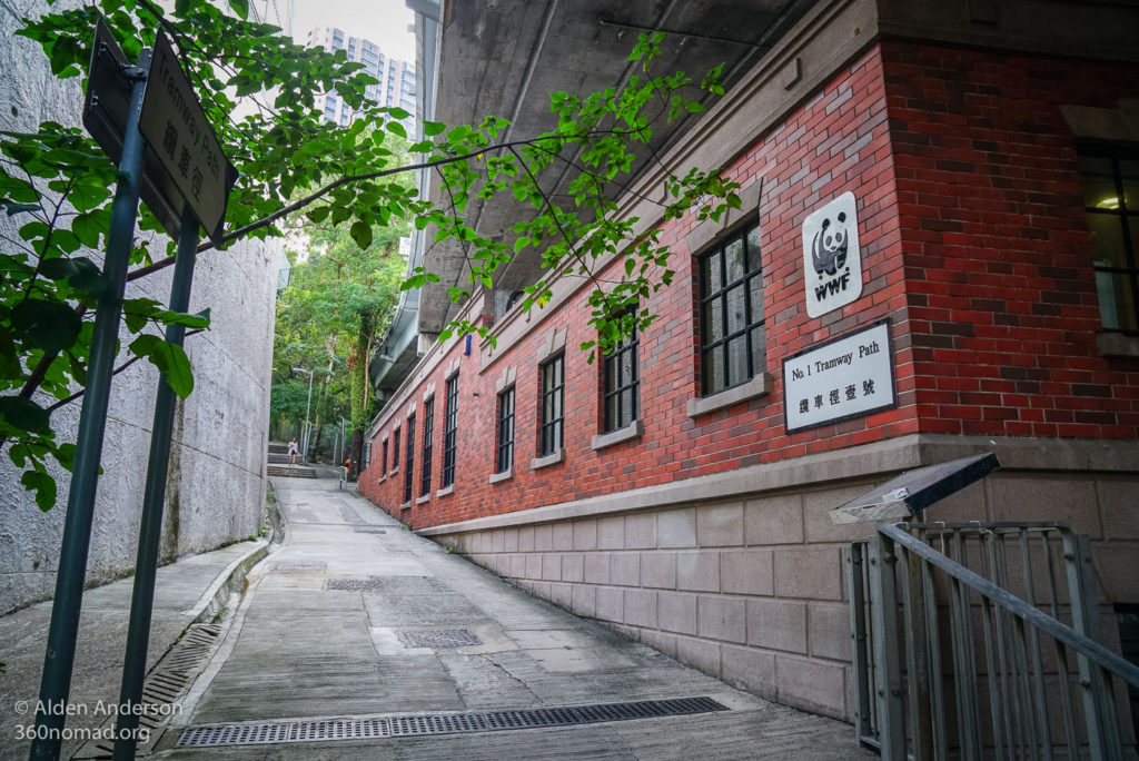
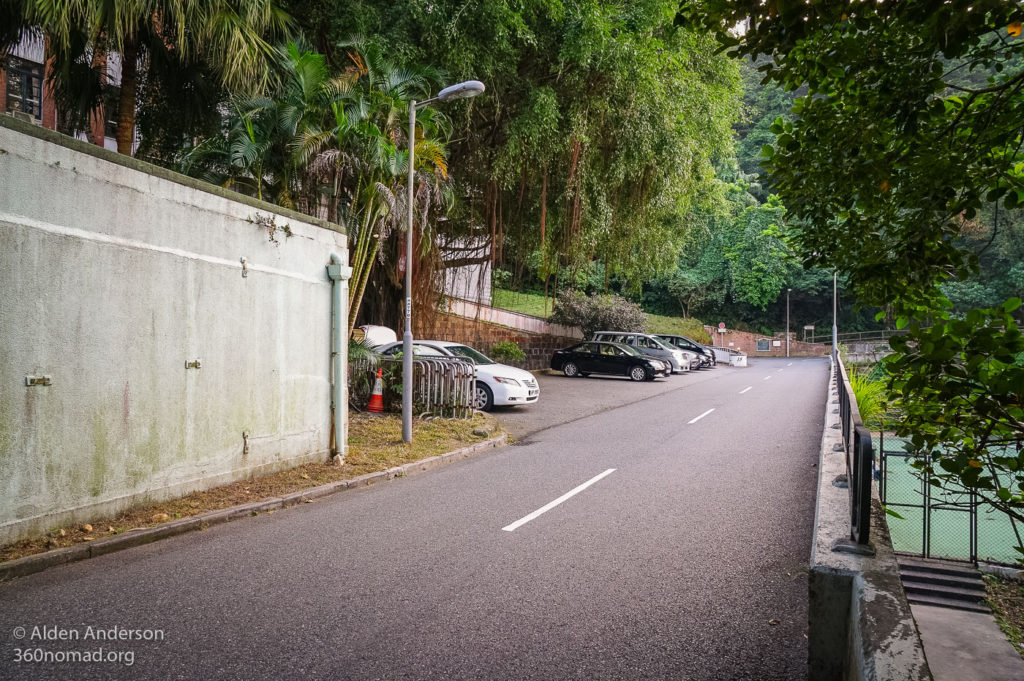
Once you reach the tram station continue uphill into the parking lot. You will see the WWF building.
On the left side of the building is a path “Tramway Path” on google maps.
The first portion of the path follows the tracks fairly closely giving you some good views of the tram.
The path is fairly clear/well-marked, except a few places where it crosses a busy street. Just cross the street and you’ll find the path continues on the other side.
I didn’t realize this until I started walking the path but there are landings or tram stops all along the way. If it isn’t a busy day you can actually go here and request a tram stop by pressing the button. There are also interesting displays with the history of the tram at these small stops. Great places to take pictures of the tram.
The trail is also marked as the “Central Green Trail” and once you pass May Road it’s also called “Chatham Path” on google maps.
Above May road it’s a beautiful green forested section where in some places it’s hard to believe that you are in HK. There are also a few views of the skyline and harbour including the first views of the Two IFC building where the China portion of The Dark Knight was shot.
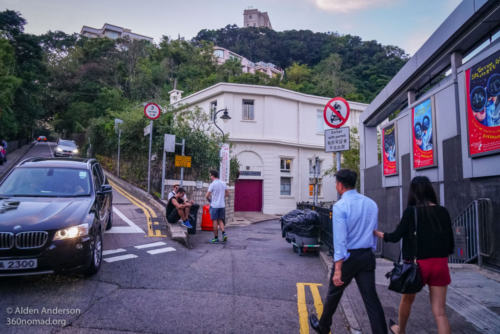
This section of the trail ends at Barker Road. Turn right following the road past the Victoria House. Keep on the main road, do not turn left up “Hospital Path”.
There are more city views along Barker Road.
The road narrows and goes under the tram tracks at the end. Don’t continue under the arch. Instead take Findlay Path, going up on the left hand side.
Continue up the path, staying to the right. In about 5 minutes you’ll come out on the top where you’ll see lot’s of people, the mall and the upper terminus for the peak tram.
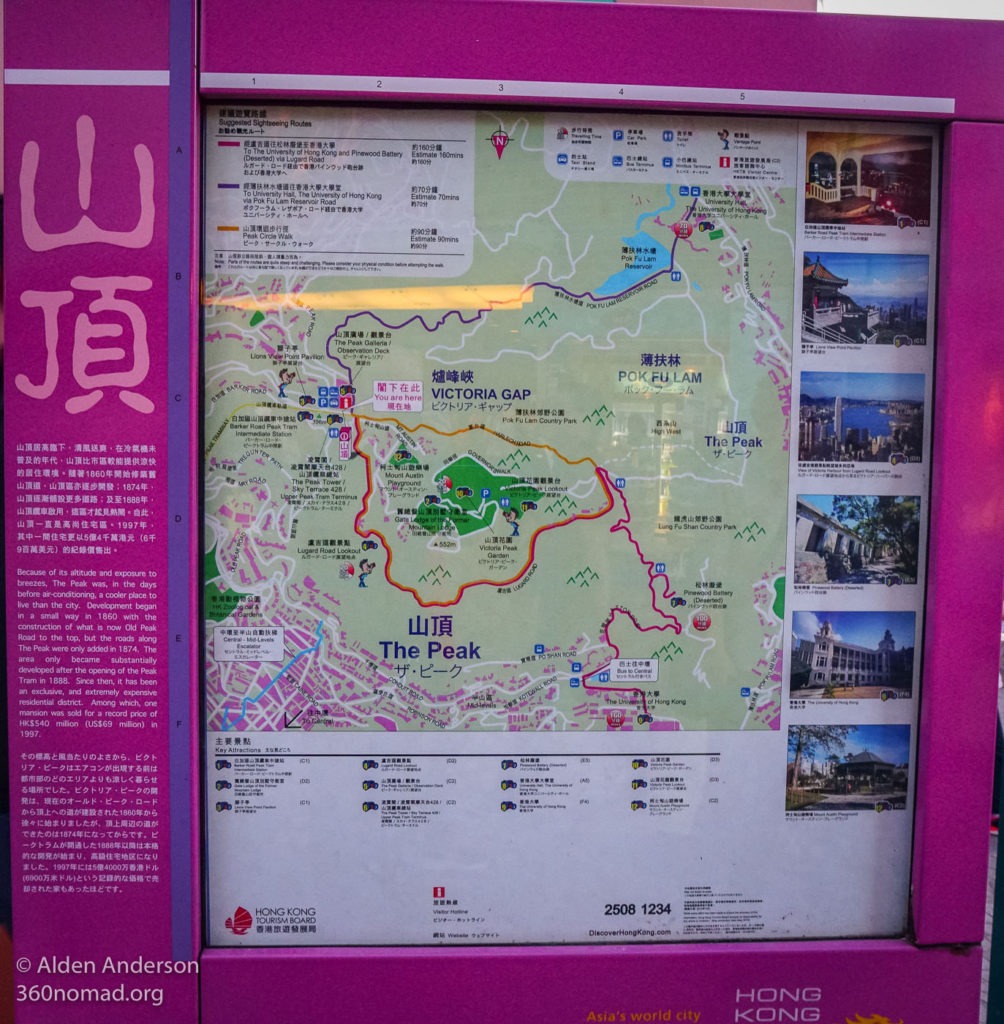
To get to the views continue straight past the mall, onto the path going off to the right. This path circles the peak. Walk 5 minutes or so for the first views. Keep walking further along the trail for more views.
I think the best time is as the sun goes down. If you have time you can see it during the day and in the evening.


