Dragon’s Back
Dragon’s Back, a portion of the much longer Hong Kong Trail, is an easily accessible, not very strenuous hike along a ridgeline with great views of the ocean and islands surrounding the Shek O peninsula on Hong Kong Island. It has been rated as one of the best if not THE best hike in Hong Kong as well as Time Magazine’s “Best Urban Hike in Asia” in Nov 2004. It certainly has some amazing views with a good effort to reward ratio. A perfect half day outing with options to hang out at 2 different beaches afterward. Here is your complete guide to the Dragon’s Back Hike:
Dragon’s Back Hike::
Time Needed: 1.5 — 3 hours
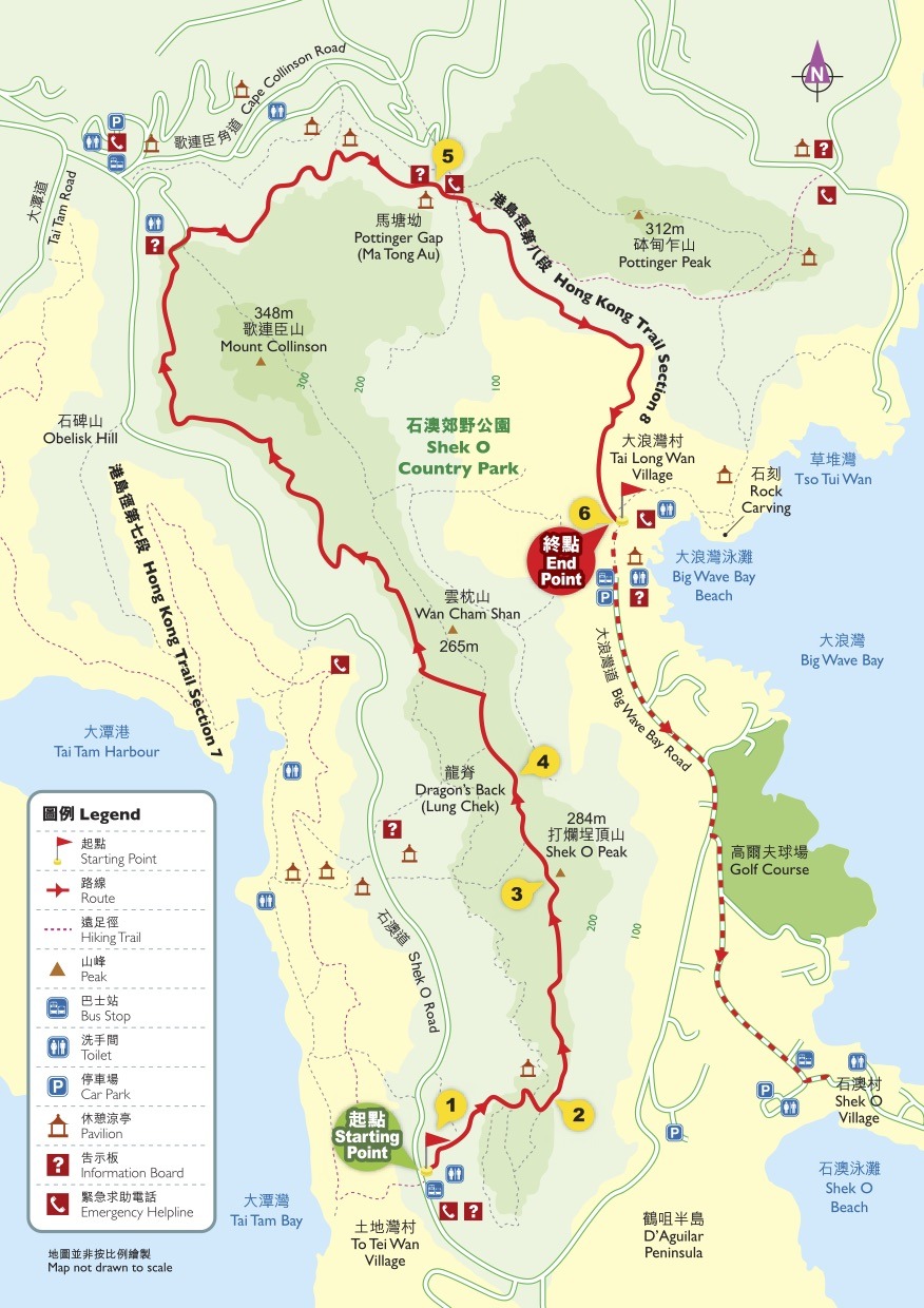
Click here for the map of the trail located at the end of the post.
There are a few ways to do the Dragon’s Back Hike. I will list the most direct first and then the other options.
To the trailhead:
Take bus # 9 from the Shau Kei Wan Bus Terminal on Hong Kong Island (The easiest way to get to the bus terminal is to take the Island Line MTR, Shau Kei Wan Station, exit A3. Bus #9 is right there).
Get off the bus at the To Tei Wan stop along Shek O Road. The trailhead is on your left. It’s well marked. This is labeled as “Starting Point” on the map below
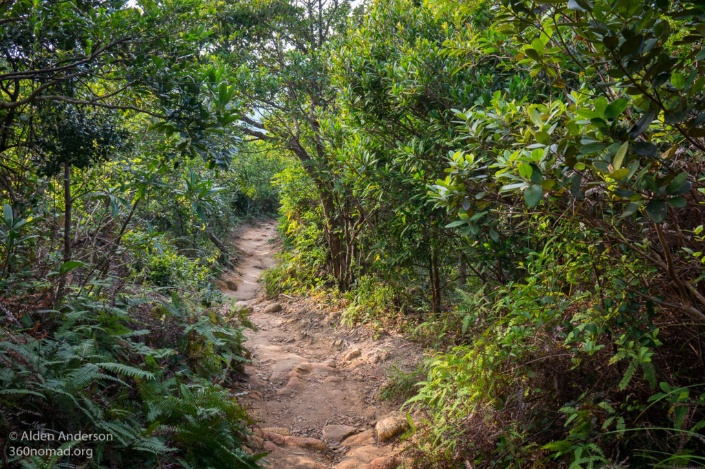
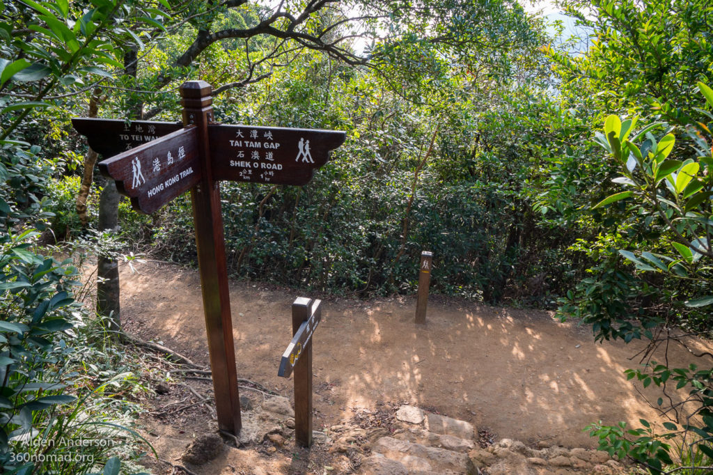
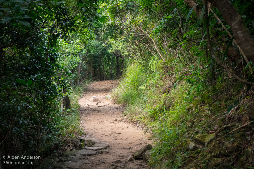
The Dragon’s Back Trail gradually ascends in and out of the trees and bushes. At the junction follow the signs for “Dragon’s Back” and “Hong Kong Trail”.
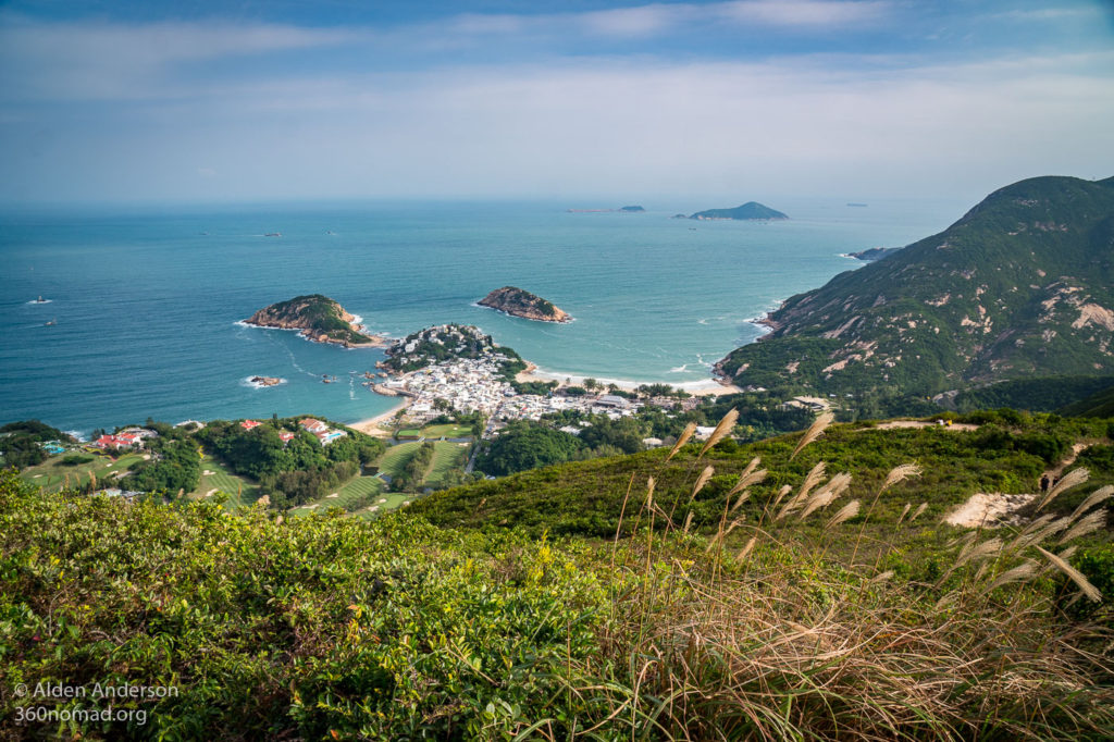
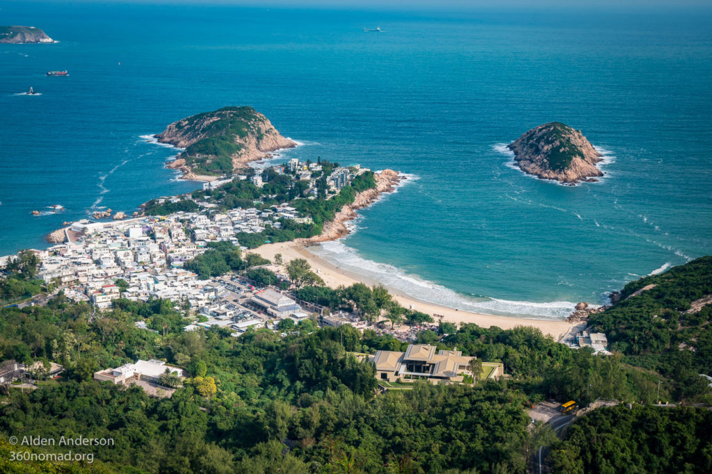
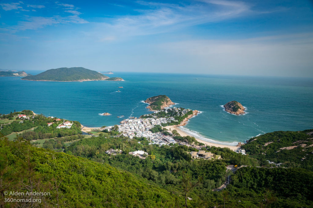
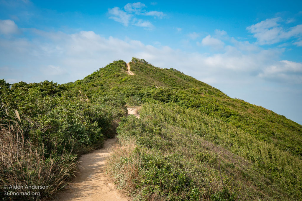
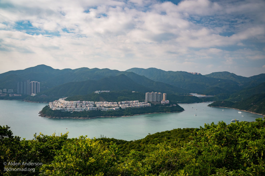
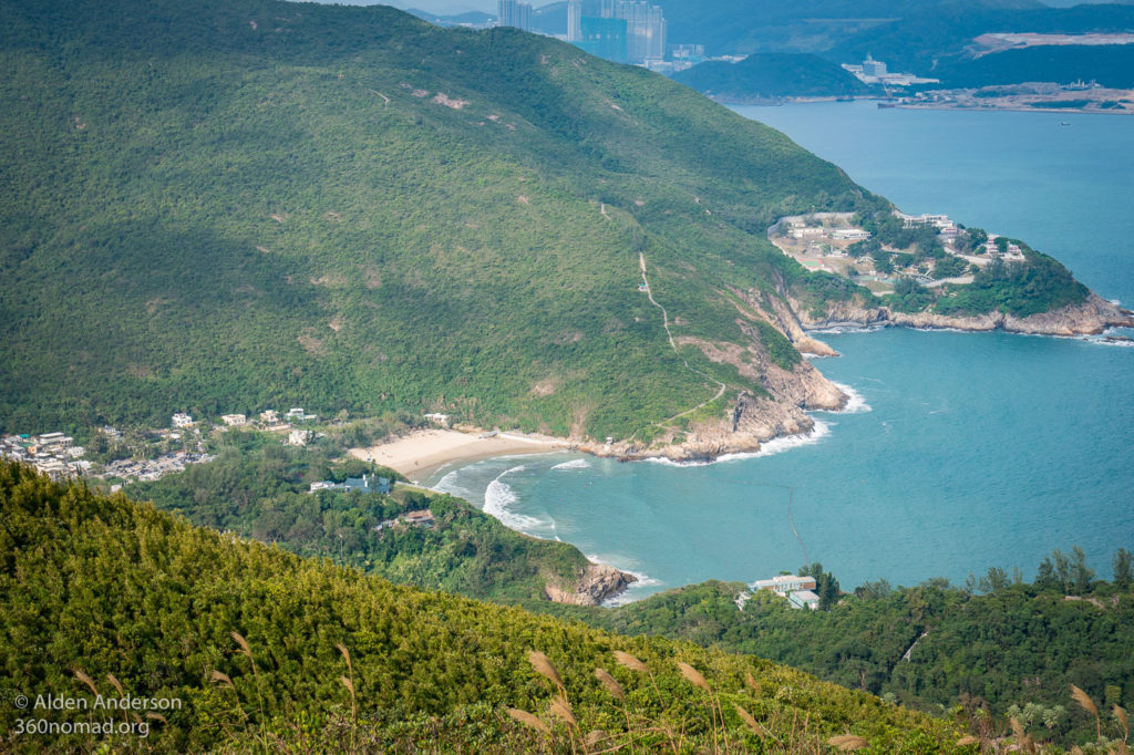
Soon you’ll arrive at the ridge, the back of the dragon, as it snakes its way up to Shek O peak. The views up here are spectacular. To the South is the Shek O Peninsula and D’Aguilar Peak. Below you to the East is Shek O Beach and Shek O Village, to the West is Tai Tam Bay. It’s quite a grand view on a clear day. You might see paragliders up here as they launch themselves into the steady breeze coming up the ridge, playing in the air currents.
Continue up the ridge, taking time to appreciate the views.
There are numerous viewpoints. At the final viewing area is Shek O Peak and the top of the dragons back with a sign and a bench. On the weekend it’s possible this place will be quite crowded, so you might have to wait to use your selfie stick.
From here you have a few options to go down, the fastest would be to return the way you came (15–20 minutes). The next option is to continue along the ridge descending to either Tai Tam Gap 40–60 minutes) or continuing on to Big Wave Bay (1.5 — 2 hours). If you have time I would recommend going all the way to Big Wave Bay. This is the route drawn on the map at the end of the post.
Returning via Tai Tam Gap or Big Wave Bay
Continue along the ridge (not turning back the way you came). From here on, the views are pretty much over, the rest of the hike gradually descending through the trees. At the first junction turn right following the sign for Tai Tam Gap — Shek O Road. It’s about an hour to hike from the top down to Tai Tam Gap.
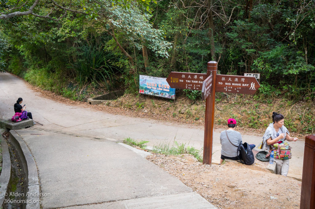
After 30–40 minutes of walking, you’ll arrive another junction, which is paved. Here you have two options. To the left is Tai Tam Gap and Bus #9 back to the city (ten minutes further). Or you can turn right and on down to Big Wave Bay (about another hour). There are 2 portable toilets here.
Big Wave Bay:
As I mentioned above, check out Big Wave Bay if you have time. It’s a secluded sandy beach frequented by surfers, with small stores and places to eat, a BBQ/picnic area and even some rock carvings thought to be about 3,000 years old. A shuttle bus goes to and from Big Wave Bay and Shau Kei Wan.
End of Dragon’s Back Hike at Tai Tam Gap:
To Tai Tam Gap, take a left at the junction and then another left a few minutes later at some signs for “Shek O Road”. Down the stairs and onto the “Cape Collision” bus stop on Shek O Road. Take bus #9 back to the city.


